
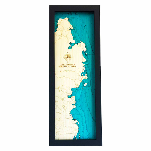
A layered bamboo art map of Abel Tasman National Park, celebrating one of the upper South Island’s most beautiful coastal landscapes.
This Matai Gallery medium long art map captures Abel Tasman National Park, including Adele Island, Mārahau, Awaroa, Kaiteriteri, Sandy Bay, Riwaka and Motueka. Known for golden beaches, clear water, native bush, walking tracks and sheltered bays, Abel Tasman is a place closely connected to holidays, walking, kayaking, family memories and time spent by the sea.
Roads and tracks are marked, adding detail and helping connect the landscape to favourite walks, beaches, bays and places with personal meaning.
Carefully constructed by hand, layer by layer, in our Wairarapa workshop, this six-layer bamboo art map brings depth, texture and warmth to a landscape shaped by coastline, islands, tracks and memory.
Choose from a black or white frame to suit your space. Made from layered bamboo ply and framed in FSC pine, each map is carefully finished by hand. Due to the handmade construction and natural materials used, each piece may vary slightly from the image shown, making every map unique.
Details:
- Location: Abel Tasman National Park
- Features: Adele Island, Mārahau, Awaroa, Kaiteriteri, Sandy Bay, Riwaka and Motueka
- Size: Medium Long
- Layers: 6
- Frame dimensions: 75cm high x 28cm wide x 4cm deep [confirm orientation]
- Weight: approx. 8kg / 8,000g
- Frame options: Black or white
- Roads and tracks marked
- Carefully constructed by hand in our Wairarapa workshop
Product code: MM12ABTL