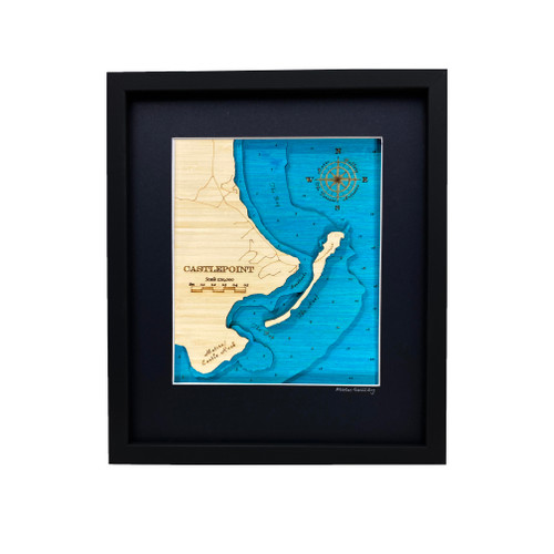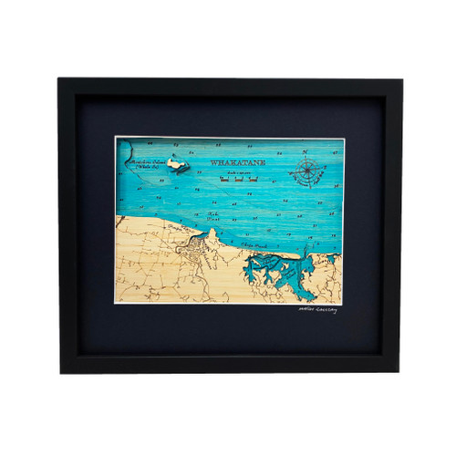


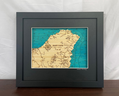
A layered bamboo art map of East Cape, celebrating one of the most remote and meaningful coastal landscapes of the North Island.
This Matai Gallery small art map captures East Cape, the easternmost point of New Zealand’s North Island, nestled between Te Araroa and Tikitiki. It features Ruatōria, Waipiro Bay, Hicks Bay and Cape Runaway, bringing together a coastline known for first light, strong identity, wild beauty and deep connection to place.
From coastal journeys and family history to memories of road trips, whenua, sea and sky, East Cape is a landscape that feels powerful, personal and unforgettable.
Carefully constructed by hand, layer by layer, in our Wairarapa workshop, this four-layer bamboo art map brings depth, texture and warmth to a place shaped by coast, hills, community and memory.
Choose from a black or natural frame to suit your space. Made from layered bamboo ply and framed in FSC pine, each map is carefully finished by hand. Due to the handmade construction and natural materials used, each piece may vary slightly from the image shown, making every map unique.
Details:
- Location: East Cape
- Features: Te Araroa, Tikitiki, Ruatōria, Waipiro Bay, Hicks Bay and Cape Runaway
- Size: Small
- Layers: 4
- Frame dimensions: 300mm wide x 380mm high x 28mm deep
- Weight: approx. 1kg
- Frame options: Black or natural
- Carefully constructed by hand in our Wairarapa workshop