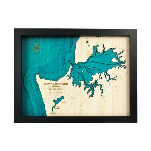

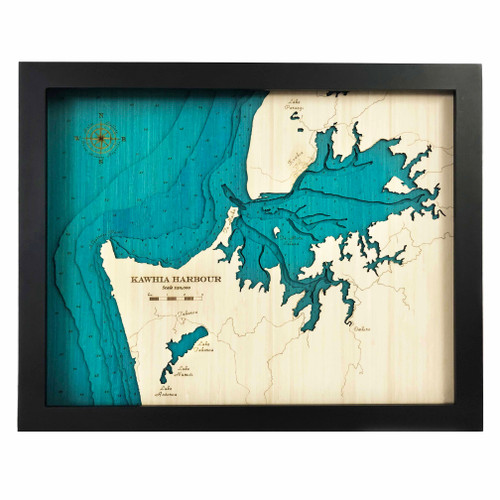
A layered bamboo art map of Kāwhia Harbour, celebrating the harbour entrance, coastal features and rugged west coast landscape.
This Matai Gallery large art map captures Kāwhia Harbour, along with the coast out to Albatross Point. Kāwhia township and major roads are marked, along with Lake Parangi, Lake Taharoa and Te Puia Springs.
The harbour entrance and bar, with all its natural features, makes this a particularly interesting map. With its coastal detail, harbour shape and connection to fishing, boating, local history and west coast memories, Kāwhia is a meaningful place for many who know and love this part of the Waikato coastline.
The large format gives this map strong visual presence, allowing the harbour, coastline, roads and surrounding landscape to be appreciated as a statement artwork.
Carefully constructed by hand, layer by layer, in our Wairarapa workshop, this six-layer bamboo art map brings depth, texture and warmth to a landscape shaped by harbour, coast, lakes and memory.
Choose from a black or white frame to suit your space. Made from layered bamboo ply and framed in FSC pine, each map is carefully finished by hand. Due to the handmade construction and natural materials used, each piece may vary slightly from the image shown, making every map unique.
Details:
- Location: Kāwhia Harbour
- Features: Kāwhia township, Albatross Point, Lake Parangi, Lake Taharoa, Te Puia Springs, harbour entrance and bar
- Size: Large
- Layers: 6
- Frame dimensions: 79cm wide x 63cm high x 4cm deep
- Weight: approx. 12kg / 12,000g
- Frame options: Black or white
- Major roads marked
- Carefully constructed by hand in our Wairarapa workshop