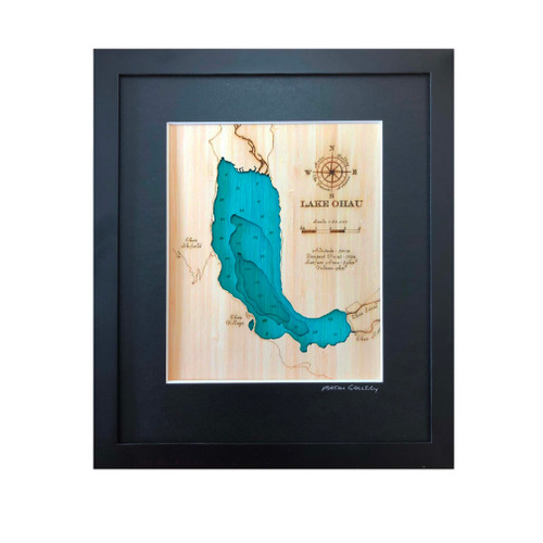


A layered bamboo art map of the Rotorua Lakes, celebrating one of Aotearoa’s most remarkable and lake-rich landscapes.
This Matai Gallery medium art map features the many lakes of the Rotorua region, including Lake Rotorua, Lake Rotoiti, Lake Ōkataina, Lake Tikitapu / Blue Lake, Lake Tarawera, Lake Rotomahana, Lake Ōkāreka, Lake Rotokawau, Lake Rotomā, Lake Rotokākahi / Green Lake and Lake Rotoehu.
With seven layers, this piece brings beautiful depth and detail to a landscape shaped by volcanic history, geothermal activity, forest, water and memory. The artwork also includes Rotorua township, Ngongotahā, Mourea, Rotokawa, Te Ngae, Whangamarino, Hauparu, Rotoehu, Te Wairoa and Tumunui, with roads shown in full detail.
Mokoia Island, Gisborne Point and Mount Tarawera are also shown, adding further meaning to this highly detailed celebration of the Rotorua Lakes area.
Carefully constructed by hand, layer by layer, in our Wairarapa workshop, this seven-layer bamboo art map brings texture, warmth and presence to one of New Zealand’s most distinctive natural regions.
Choose from a black or white frame to suit your space. Made from layered bamboo ply and framed in FSC pine, each map is carefully finished by hand. Due to the handmade construction and natural materials used, each piece may vary slightly from the image shown, making every map unique.
Details:
- Location: Rotorua Lakes
- Features: Lake Rotorua, Lake Rotoiti, Lake Ōkataina, Lake Tikitapu / Blue Lake, Lake Tarawera, Lake Rotomahana, Lake Ōkāreka, Lake Rotokawau, Lake Rotomā, Lake Rotokākahi / Green Lake and Lake Rotoehu
- Additional features: Rotorua township, Mokoia Island, Gisborne Point, Mount Tarawera and full road detail
- Size: Medium
- Layers: 7
- Frame dimensions: 520mm wide x 420mm high x 40mm deep
- Weight: approx. 7kg / 7,000g
- Frame options: Black or white
- Carefully constructed by hand in our Wairarapa workshop