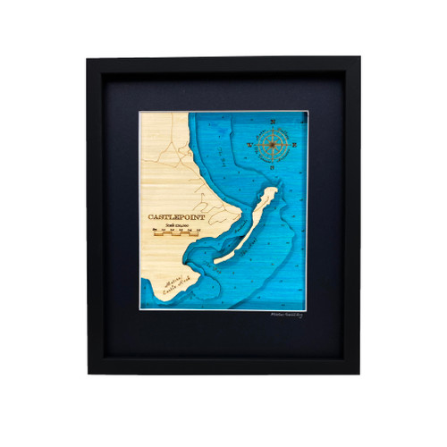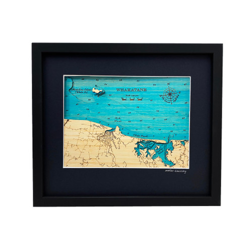

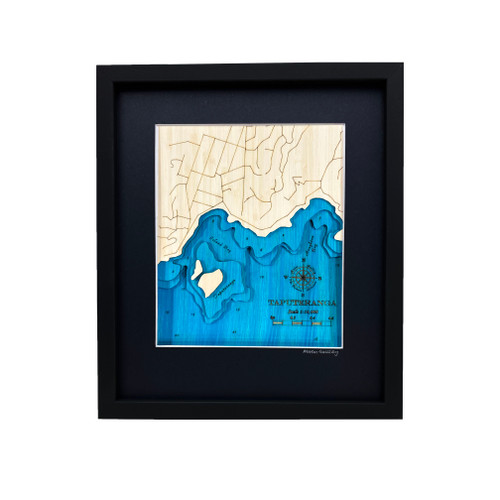
A layered bamboo art map of Taputeranga Marine Reserve, celebrating Wellington’s rugged south coast and rich coastal waters.
This Matai Gallery small art map captures Island Bay, Houghton Bay and most of Taputeranga Marine Reserve. Set along Wellington’s wild southern coastline, this area is known for its rocky shore, marine life, diving, snorkelling, coastal walks and strong connection to the sea.
From favourite swimming spots and dive memories to local walks, childhood places and time spent by the water, Taputeranga Marine Reserve is a special part of Wellington’s coastal landscape.
Carefully constructed by hand, layer by layer, in our Wairarapa workshop, this four-layer bamboo art map brings depth, texture and warmth to a landscape shaped by coastline, ocean and memory.
Choose from a black or natural frame to suit your space. Made from layered bamboo ply and framed in FSC pine, each map is carefully finished by hand. Due to the handmade construction and natural materials used, each piece may vary slightly from the image shown, making every map unique.
Details:
- Location: Taputeranga Marine Reserve, Wellington
- Features: Island Bay, Houghton Bay and most of Taputeranga Marine Reserve
- Size: Small
- Layers: 4
- Frame dimensions: 300mm wide x 380mm high x 28mm deep
- Weight: approx. 1kg
- Frame options: Black or natural
- Carefully constructed by hand in our Wairarapa workshop