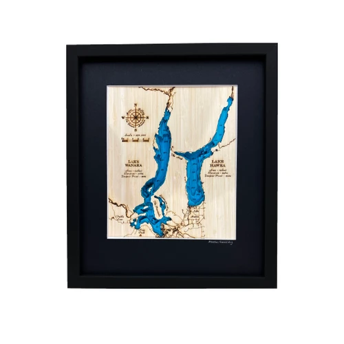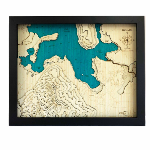


A layered bamboo art map of Lake Wānaka and Lake Hawea, celebrating the depth, beauty and remarkable shape of these much-loved southern lakes.
This Matai Gallery large art map highlights the bathymetry of the beautiful twin lakes of Wānaka and Hawea, offering a striking perspective on one of Central Otago’s most memorable landscapes. From the depths of Lake Hawea to the world-famous views of Lake Wānaka from Roys Peak, this piece reveals a different side of the region to the one most often seen.
Lake Wānaka is New Zealand’s fourth largest lake, while its lesser-known neighbour, Lake Hawea, is almost 100 metres deeper, with its deepest point lying below sea level. This artwork captures that sense of scale and contrast beautifully.
The map includes Wānaka town, Glendhu Bay, Lake Hawea, Hawea Flat, Dingle Burn, The Neck and right up to Makarora. Streets are engraved in full detail, making it possible to recognise favourite places and personal connections within the landscape.
Carefully constructed by hand, layer by layer, in our Wairarapa workshop, this nine-layer bamboo art map brings depth, texture and presence to a landscape shaped by lakes, mountains, valleys and memory.
Choose from a black or white frame to suit your space. Made from layered bamboo ply and framed in FSC pine, each map is carefully finished by hand. Due to the handmade construction and natural materials used, each piece may vary slightly from the image shown, making every map unique.
Details:
- Location: Lake Wānaka and Lake Hawea
- Features: Wānaka town, Glendhu Bay, Lake Hawea, Hawea Flat, Dingle Burn, The Neck and Makarora
- Size: Large
- Layers: 9
- Frame dimensions: 79cm wide x 63cm high x 4cm deep
- Weight: approx. 12kg / 12,000g
- Frame options: Black or white
- Full street detail engraved
- Carefully constructed by hand in our Wairarapa workshop