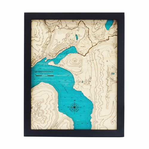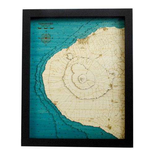


A layered bamboo art map of Mahurangi, celebrating the peninsula, estuary and coastal detail of this beautiful Auckland region landscape.
This Matai Gallery medium art map captures the Mahurangi Peninsula, Mahurangi West, Mahurangi Regional Park, Scotts Landing and the estuary from the Pūhoi River to Dyers Creek. With its intricate coastline, sheltered waterways, regional parkland and strong connection to boating, walking, holidays and local life, this piece honours a place full of natural character and personal meaning.
The coastline and estuary detail make this map especially interesting, giving depth and texture to a landscape shaped by water, land, inlets and memory.
Carefully constructed by hand, layer by layer, in our Wairarapa workshop, this seven-layer bamboo art map brings warmth, presence and detail to a much-loved part of the upper Auckland coastline.
Choose from a black or white frame to suit your space. Made from layered bamboo ply and framed in FSC pine, each map is carefully finished by hand. Due to the handmade construction and natural materials used, each piece may vary slightly from the image shown, making every map unique.
Details:
- Location: Mahurangi
- Features: Mahurangi Peninsula, Mahurangi West, Mahurangi Regional Park, Scotts Landing, Pūhoi River and Dyers Creek
- Size: Medium
- Layers: 7
- Frame dimensions: 42cm wide x 52cm high x 3cm deep
- Weight: approx. 8kg / 8,000g
- Frame options: Black or white
- Carefully constructed by hand in our Wairarapa workshop