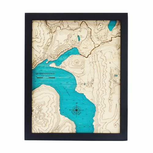


A layered bamboo art map of Whangapoua, celebrating one of the Coromandel Peninsula’s most beautiful coastal landscapes.
This Matai Gallery medium art map captures the Whangapoua area from Haupapa Point down to Motukoranga Island, including Great Mercury Island / Ahuahu. Townships shown include Whangapoua, Kūaotunu and Matarangi, bringing local detail and meaning to this much-loved part of the Coromandel.
The map also features Whangapoua Harbour, New Chums Beach, Whangapoua’s famous surf beach, Opito Bay, Tokaraku Point, Kennedy Bay and Great Mercury Island. With beaches, harbours, islands and coastal detail, this piece celebrates a place closely connected to holidays, boating, surfing, family memories and time spent by the sea.
Carefully constructed by hand, layer by layer, in our Wairarapa workshop, this six-layer bamboo art map brings depth, texture and warmth to a landscape shaped by coastline, islands, harbour and memory.
Choose from a black or white frame to suit your space. Made from layered bamboo ply and framed in FSC pine, each map is carefully finished by hand. Due to the handmade construction and natural materials used, each piece may vary slightly from the image shown, making every map unique.
Details:
- Location: Whangapoua, Coromandel Peninsula
- Features: Haupapa Point, Motukoranga Island, Great Mercury Island / Ahuahu, Whangapoua, Kūaotunu, Matarangi, New Chums Beach, Opito Bay and Kennedy Bay
- Size: Medium
- Layers: 6
- Frame dimensions: 520mm wide x 420mm high x 40mm deep
- Weight: approx. 7kg / 7,000g
- Frame options: Black or white
- Carefully constructed by hand in our Wairarapa workshop