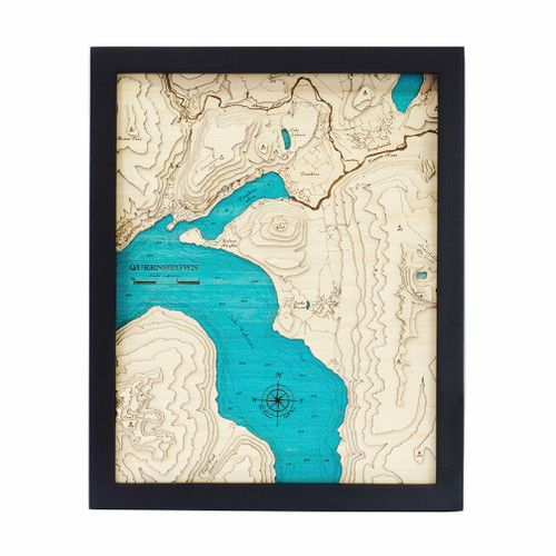


A layered bamboo art map of Mount Kaukau / Tarikākā, celebrating one of Wellington’s most recognisable hilltop landscapes.
This Matai Gallery medium art map captures the contours of Mount Kaukau / Tarikākā, a much-loved Wellington landmark known for its ridgeline views, walking tracks and connection to the Northern Walkway. The tracks, access road and trig point are all marked, adding meaningful detail for those who know the area well.
With eleven layers, this piece has impressive depth and presence, bringing the shape and rise of the landscape to life. It is a striking map for walkers, Wellington locals, hill lovers and anyone with memories of reaching the top and taking in the view.
Carefully constructed by hand, layer by layer, in our Wairarapa workshop, this eleven-layer bamboo art map brings texture, warmth and detail to a landscape shaped by hills, tracks, views and memory.
Choose from a black or white frame to suit your space. Made from layered bamboo ply and framed in FSC pine, each map is carefully finished by hand. Due to the handmade construction and natural materials used, each piece may vary slightly from the image shown, making every map unique.
Details:
- Location: Mount Kaukau / Tarikākā, Wellington
- Features: Walking tracks, access road and trig point
- Size: Medium
- Layers: 11
- Frame dimensions: 42cm wide x 52cm high x 4cm deep
- Weight: approx. 8kg / 8,000g
- Frame options: Black or white
- Carefully constructed by hand in our Wairarapa workshop